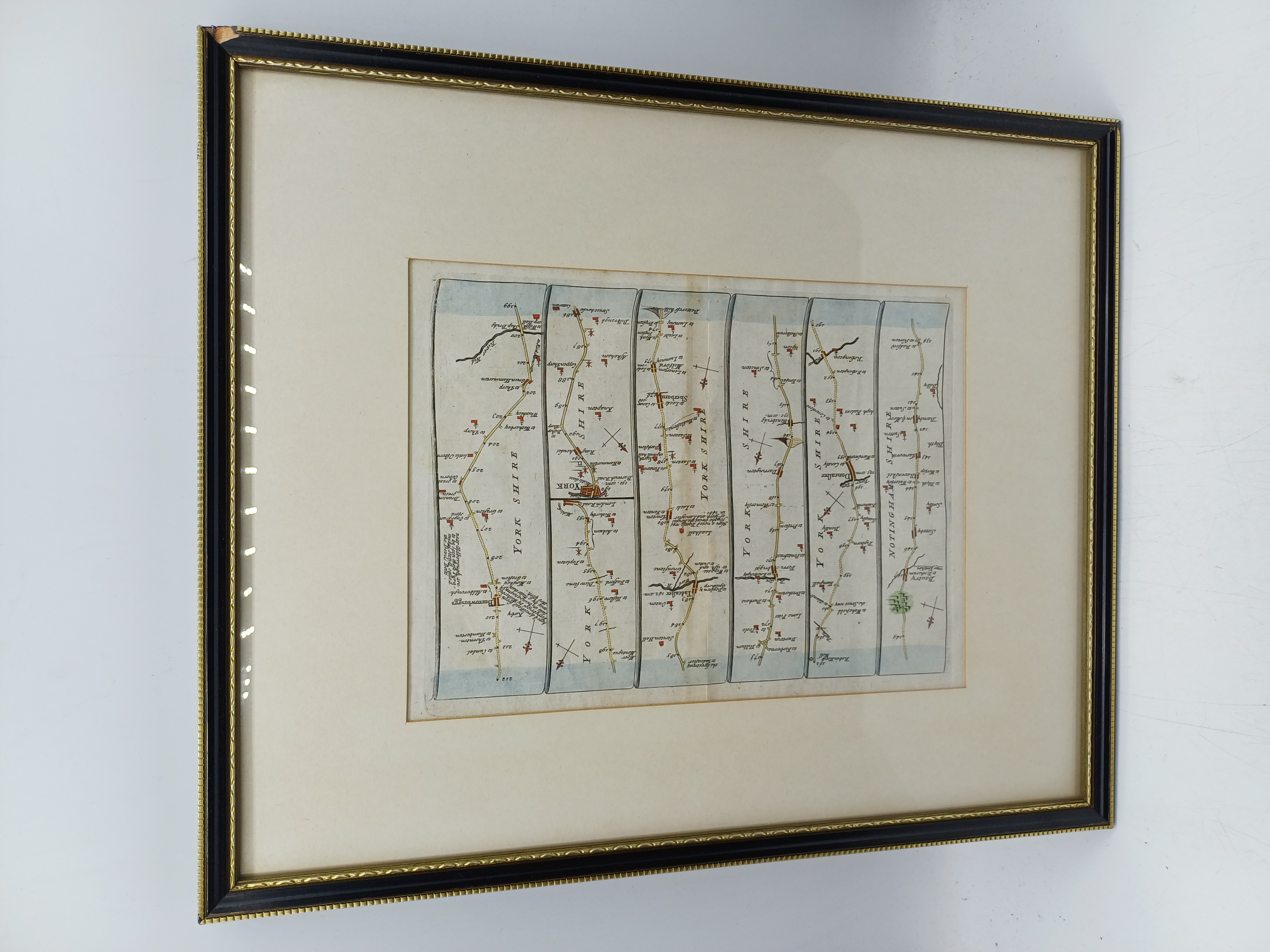
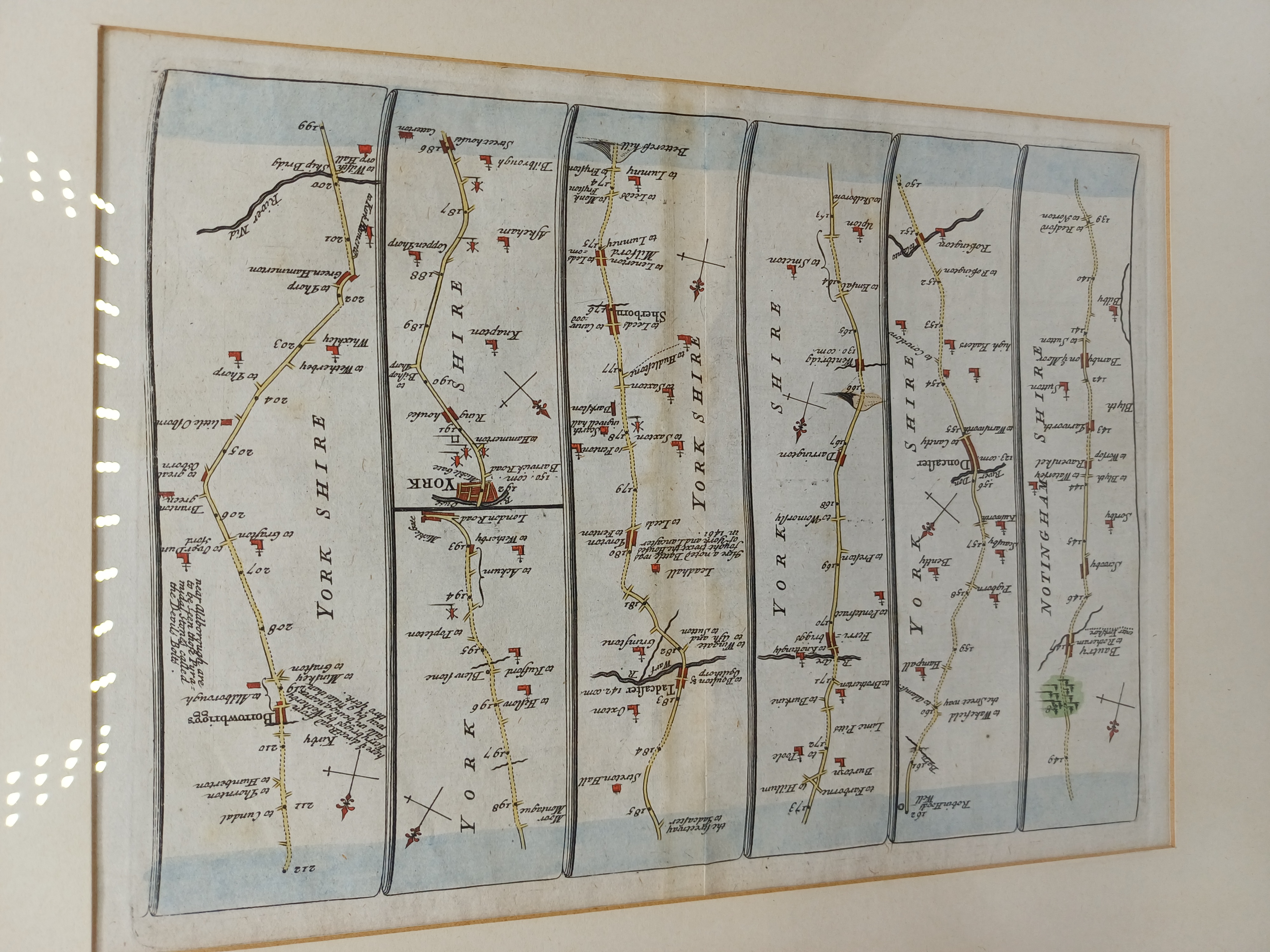
A hand-coloured copperplate engraving depicting a strip-map of the road from Nottinghamshire through Yorkshire, terminating at Boroughbridge. The intaglio print is presented in six vertical columns, showing the route through locations including Dautry, Doncaster, Wentbridge, Tadcaster, York, and Borrowbrigg. The engraving features topographical details such as rivers including the River Don, River Wharfe, and River Nidd, alongside landmarks, churches, and compass roses indicating the orientation of the road sections. The plate is inscribed with regional headers reading NOTINGHAM SHIRE and YORK SHIRE, with distances marked numerically along the route up to 212 miles. The work is finished with contemporary style hand-colouring in blue, green, and red washes. The print shows a distinct plate mark and is presented in a modern cream mount and a black frame with a gilt effect inner border.
Share this lot: