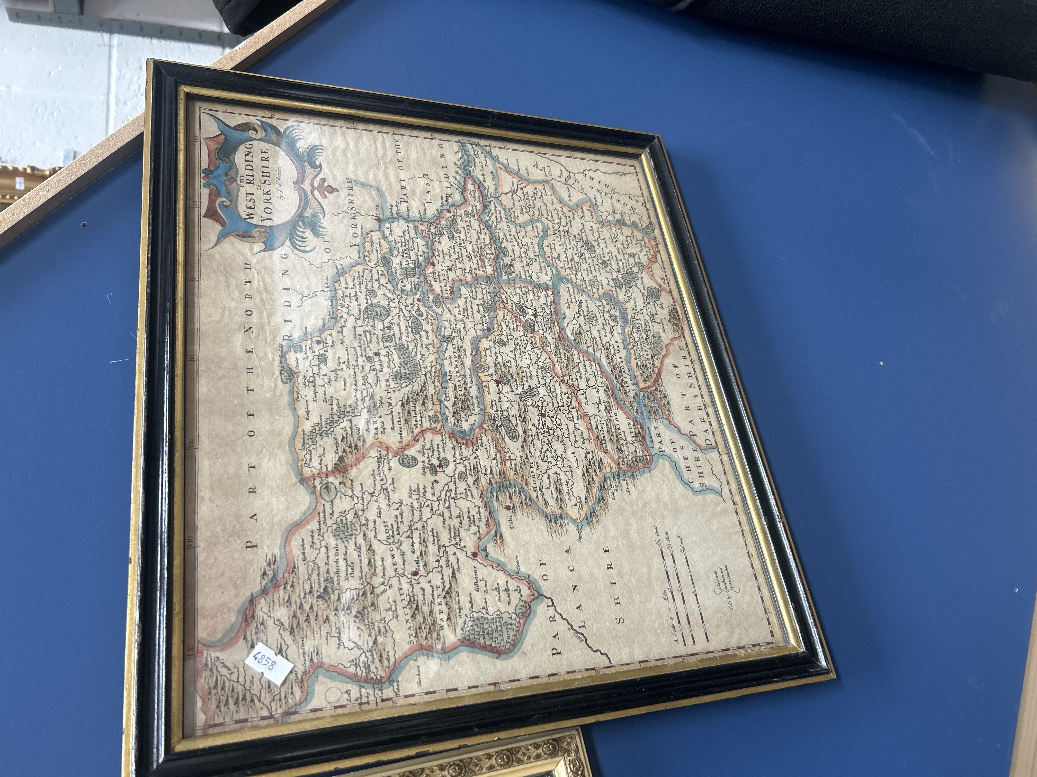
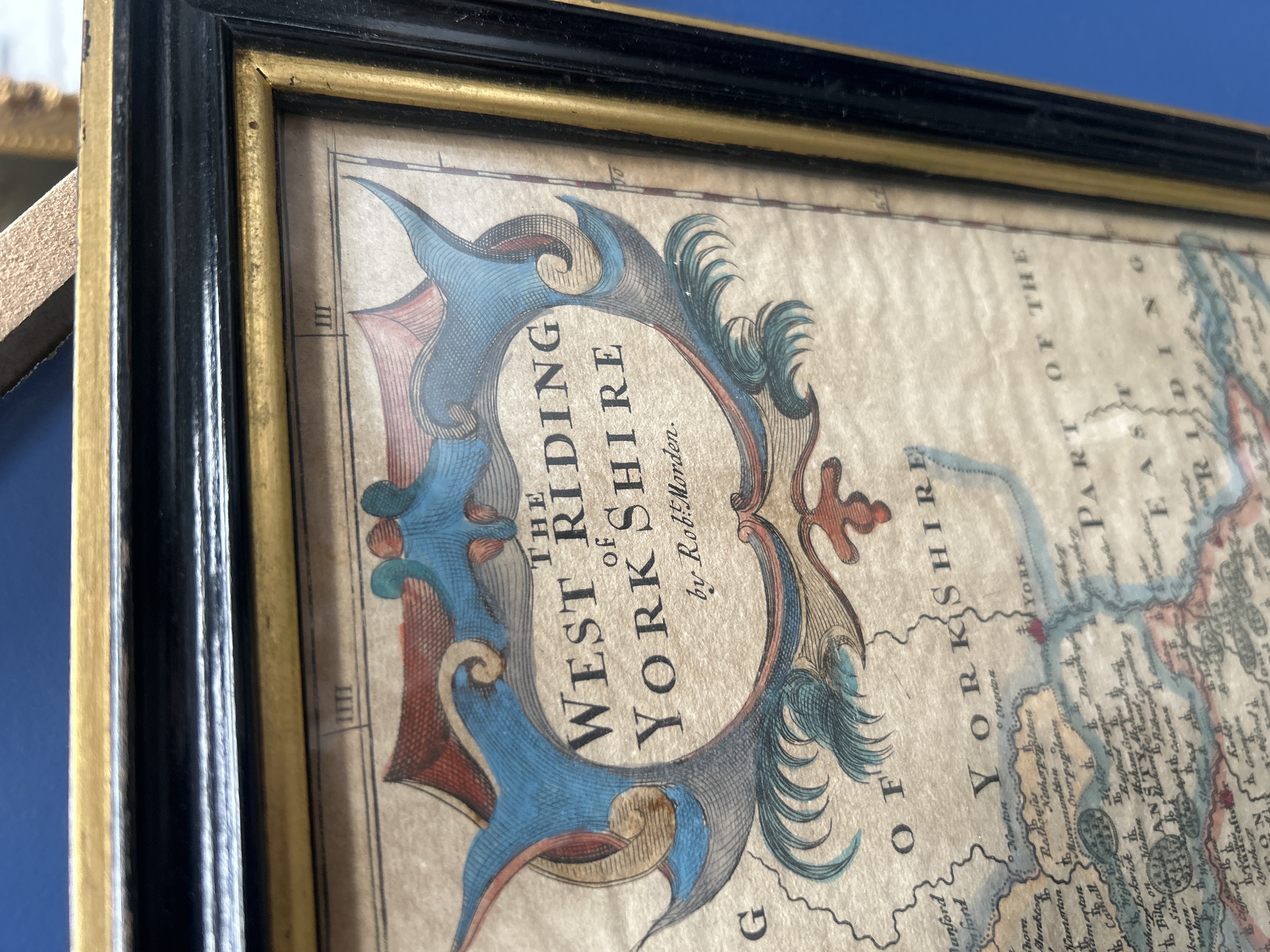
A late 17th or early 18th-century copperplate engraved map titled The West Riding of York Shire by the cartographer Robert Morden. The map features a decorative title cartouche in the upper left corner with scroll and foliate motifs, hand-coloured in shades of blue and red. It provides a detailed topographical view of the county including towns, villages, and rivers, with neighbouring regions labelled as Part of the North Riding, Part of the East Riding, Part of Darby Shire, and Part of Lanca Shire. A scale illustrating three types of miles is positioned in the lower right corner. Below the scale is the publisher imprint stating Sold by Abel Swale Awnsham and John Churchill. The map is presented in a twentieth-century ebonised wooden frame with a gilt inner slip and is glazed.
Frame size: [Auctioneer to provide dimensions]
Plate size: [Auctioneer to provide dimensions].
Dimensions: 17 x 15”
Share this lot: