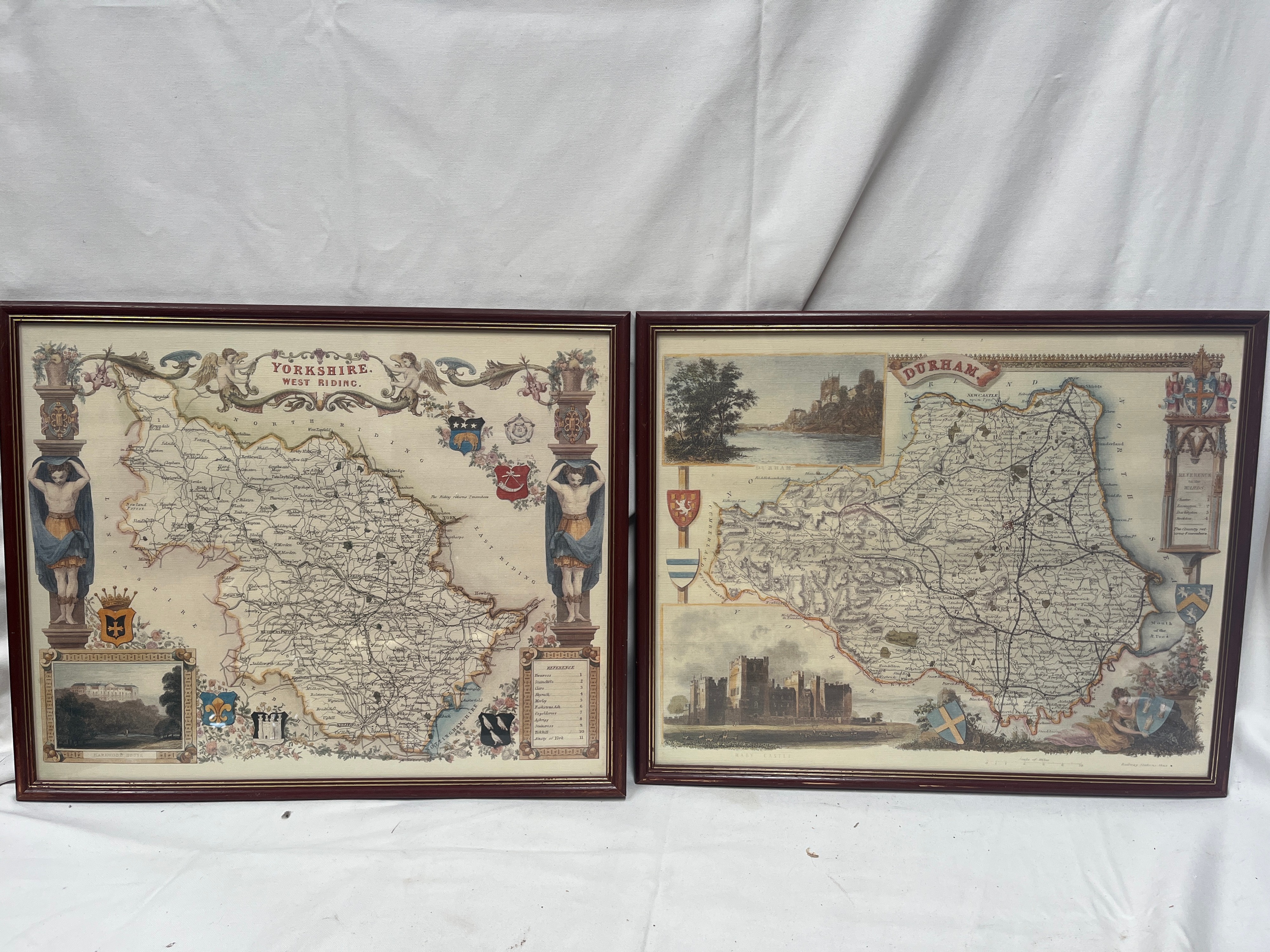
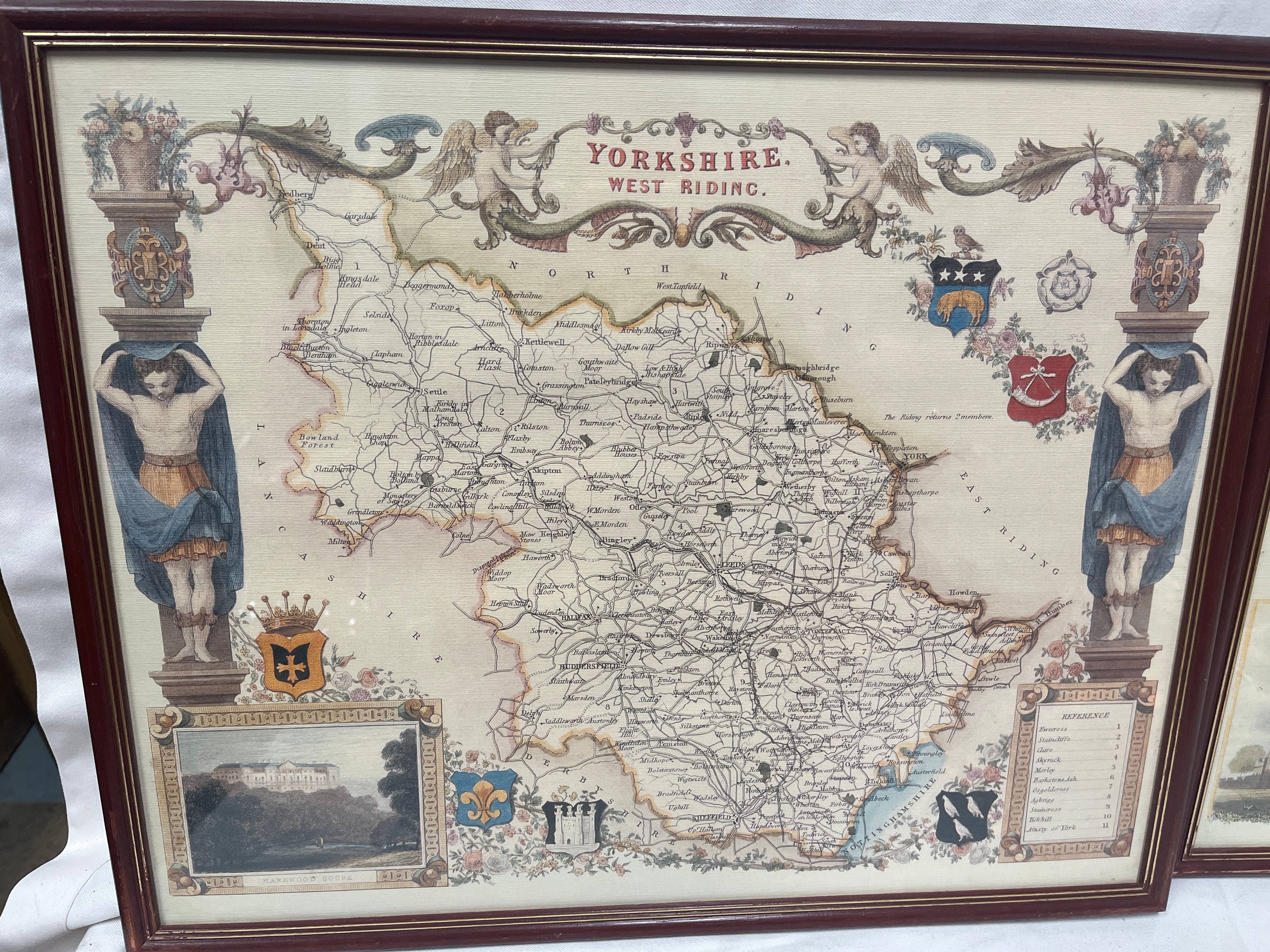
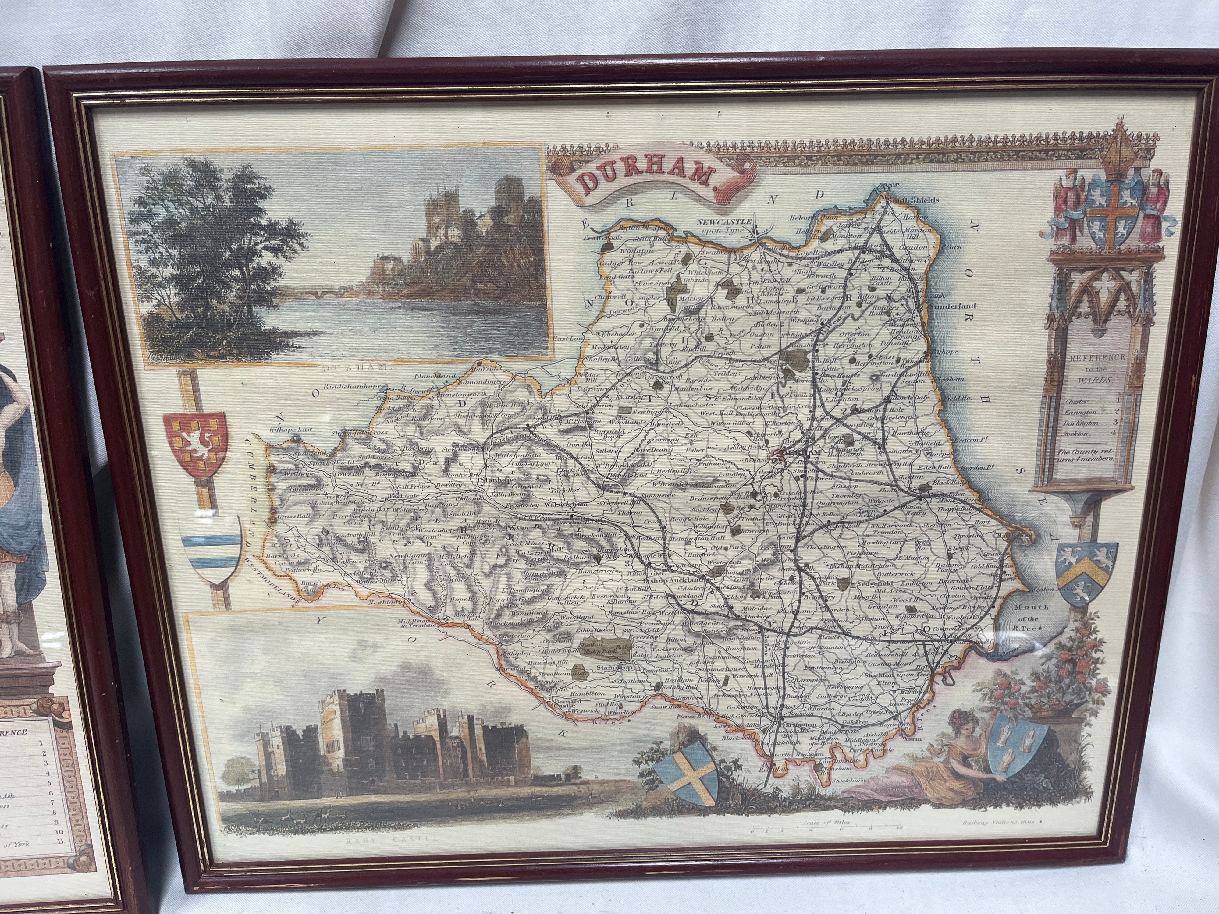
A pair of Victorian? hand-coloured engraved maps depicting the English counties of Yorkshire West Riding and Durham. The Yorkshire map is titled YORKSHIRE, WEST RIDING within a central scrollwork banner flanked by winged cherubs and architectural columns supported by male caryatid figures. It includes a topographical vignette of HAREWOOD HOUSE and a REFERENCE table for the regional wapentakes. The Durham map features a central banner title DURHAM and contains two illustrative vignettes depicting RABY CASTLE and a landscape view of a castle bridge. This map is further decorated with heraldic shields, a female figure holding a shield, and a Gothic-style REFERENCE to the WARDS column. Both maps feature contemporary-style hand-colouring to the outlines, vignettes, and decorative elements. The works are presented in matching dark mahogany-finished wooden frames with gold-tone inner beads.
Width: 21″
Height: 17″.
Share this lot: